0.0 / 5
How satisfied were you with the behaviour and cooperation of the staff?

Manamboor is a peaceful and beautiful village located in the southern tip of Kerala, on the northwestern side of Chirayinkeezhu taluk in Thiruvananthapuram district, on NH 66 from Alamkode to Ajamkonam for a distance of 4.5 km, from there southwest to Kavalayoor Road, on the border of Ottur Panchayat, on the east side to Kudi Kulamuttam, and on the border of Vakkom Panchayat, 7 km southeast to the border of Mungode Kayal, on the border of Kadakkavoor Panchayat and Attingal Municipality, from Mananak to Alamkode, on the border of Kadakkavoor Panchayat and Attingal Municipality, with an area of 15.08 square miles within a radius of 5 km and an altitude of 75 meters above sea level. In the last decades of the last century, there was an administrative unit called Manamboor...

President

Vice President & Chairman Standing Committee for finance

Chairperson, Standing Committee for development

Chairperson,Standing Committee for Welfare

Chairperson, Standing Committee for Health and Education

SECRETARY, MANAMBOOR GRAMAPANCHAYAT

🌾 Manamboor Grama PanchayatManamboor is a rural area situated in the Varkala Taluk of Thiruvananthapuram district, known for its beautiful landscape and rich cultural heritage.📌 General Information (At a Glance)District: ThiruvananthapuramTaluk / Block: VarkalaVillage: ManamboorNumber of Wards: 16Area: 15.08 square kilometersPopulation: 23,198Landscape, Agriculture, and Water ResourcesHigh-lying plains account for 25% of the total area; these regions are situated at an elevation of 25 to 60 meters above sea level. Sloping terrain makes up 35% of the land area, serving as the link between the high-lying areas and the valleys. Valleys constitute approximately 30% of the area, acting as the transition zones between the sloping terrain and the coastal plains. Coastal plains make up 10% of the total land area. In the early part of this century, agriculture was widespread across a significant portion of the Manamboor Panchayat, which was primarily an agrarian region. Agricultural land was...

Download Now


Manambur, traditionally named Thirumanamoor from the legend of Lord Subramanian's wedding, possesses a rich administrative and cultural heritage centered historically around its original village office site—once used for tax and grain storage. Administratively evolving from its historical Adhikar status into the Manambur Panchayat under leaders like K.R. Gopalakrishna Kurup and Habib Muhammad, the peaceful village fostered a strong educational and intellectual tradition through its traditional Sanskrit pathashalas, notably Vazhamkot Govindanashan's school where Kumaranashan studied, as well as a prominent lineage of Ayurvedic physicians like Sivanandan Vaidya. Community philanthropy and progressive civic initiative drove local development, establishing essential institutions like Kavalayoor High School, night...
Read More
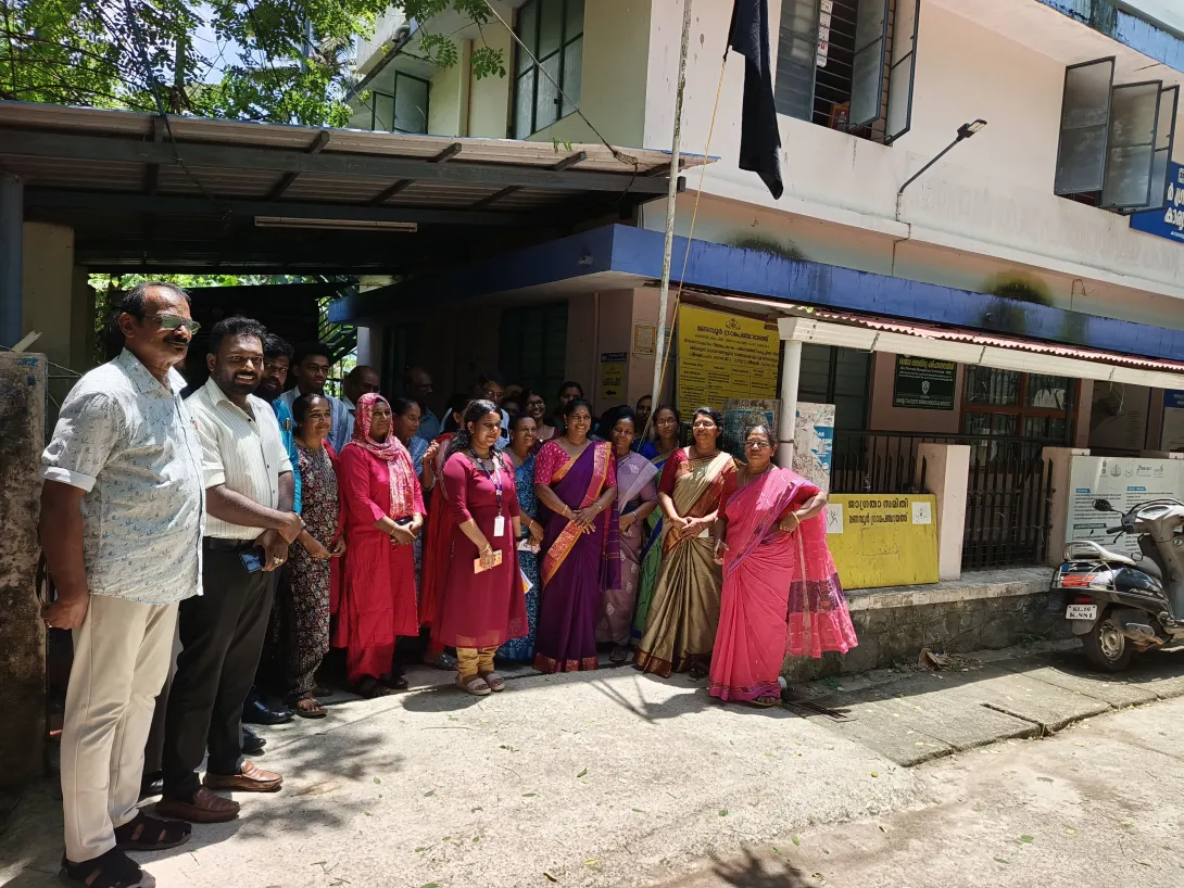
An eye check-up camp was organized for the Haritha Karma Sena members of Manamboor Grama Panchayat. The camp was held at the Material Collection Facility (MCF) building on September 30, the same day a central team visited the Manamboor Grama Panchayat MCF as part of the "Kaiyodu Kai" (Hand-in-Hand)...
Read More